May 12

Carnival 2017, Barranquilla, Colombia

Number of View: 0

Image00012

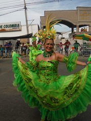
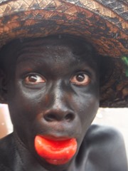
The Carnival of Barranquilla is without a doubt the most famous and internationally recognized event in Colombia. Eagerly awaited by the Colombians and all the people that want to discover and enjoy a cultural and folkloric event, the visiting crowd will encounter  activities and parades full of cultural diversity, happiness, joy and of course music. The Carnival of Barranquilla is the third biggest Carnival after the one of Rio de Janeiro and Venice. Every year, the Carnival begins 4 days before the Holy Wednesday while the most important day takes place on Saturday with the famous battle of flowers. During the battle, afro-indigenous dancers dance el Torito, el Diablo, la Conga (Congolese tango) and the Pilanderas. The event finishes with the symbolic funeral of “Joselito Carnival”.

Image00011  Image00006

   Image00007   Image00014 

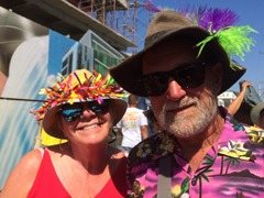
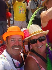
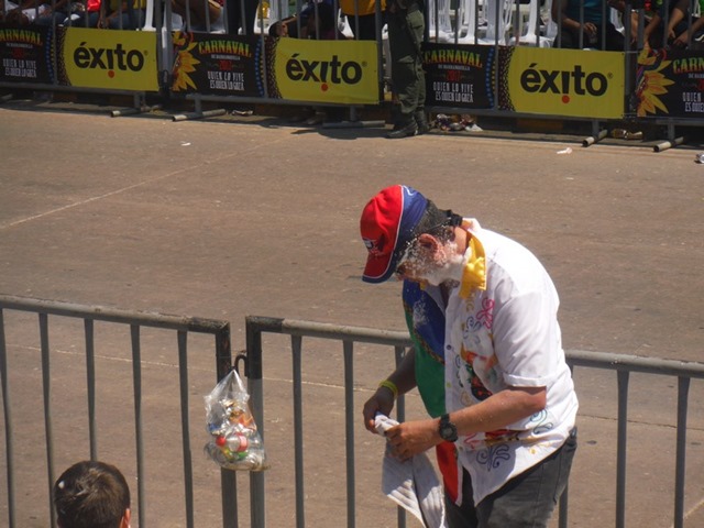
To get into the true spirit of Carnival, you must dress in party clothes, it also might save you from being foamed ……..Gringo.!!! 

Image00005  Image00006

Image00007

While Barranquilla’s carnaval may lack the publicity of it’s Brazilian cousin, it’s known to be just as spectacular. The Colombian carnaval takes place 40 days before Easter, this years carnaval takes place from February 25th-28th, 2017.

Starting as a muddle of pagan, catholic, and other ethnic festivities, it has come a long way from it’s humble roots. The Barranquilla carnaval is currently the second largest carnival in the world drawing over 500,000 visitors every year.

It has been declared by UNESCO to be a Masterpiece of Oral and Intangible Heritage of Humanity. For those travelers who aren’t convinced by those impressive facts the bold slogan should change your mind, “Quien lo vive, es quien lo goza” (Those who live are those who enjoy it).

Image00015

Image00008  Image00010

Image00009

Image00013    Image00016

Image00017  Image00018  Image00005

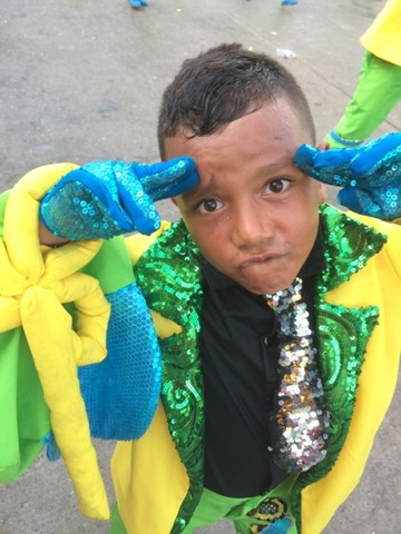
People of all ages participate in Parade.

Image00019  Image00020

  Image00002  Image00001 

Image00003  Image00004

The Greatest Party.

Also visit us on Youtube….Tutty Lee

http://www.patreon.com/svMistress


Apr 11

Bucaramanga, Parque National del Chicamocha

Number of View: 0

Image00001

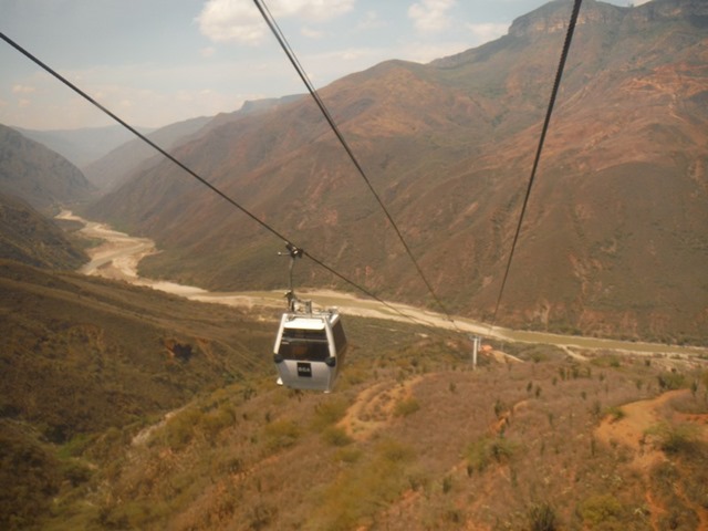
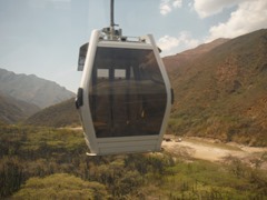
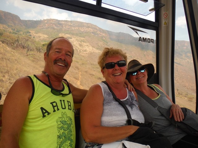
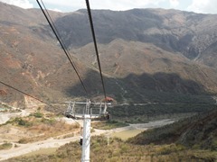
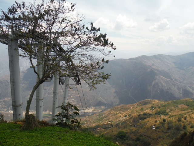
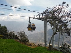
We took the bus out of a small bus station in San Gil, to an area known to have similarities to the Grand Canyon, in the U.S.. Parque Nacional del Chicamocha opened in 2006, from it’s 360o look out,  provides views of the majestic canyon. We chose to take the teleferico (cable car), 6.3 km which descends to the base of the canyon, then ascends to the top of the opposite rim, Mesaa de los Santos. The ride takes 22 minute, one way. They also offer paragliding for those that want to soar over the canyon below.  

Image00014  Image00015

Image00016  Image00017

Image00002

Image00003  Image00004

Image00005

Image00010  Image00012

Image00009

Image00006  Image00007

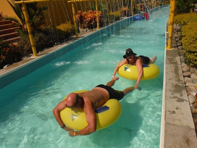
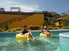
After lunch, everything closes for lunch, we caught the first cable car so we could spend some time in the waterpark to cool off. It was the middle of the week, but I’m sure, on week ends this place is packed.

Image00020

After a relaxing afternoon, a lady that works in the ticket booth went out to the highway, and flagged down a passing bus., We needed to travel into the city of Bucaramanga , where we could get a bus back to Santa Marta. Our land excursion coming to an end. 

Image00018  Image00019

Mar 24

Villa de Leyva, Colombia

Number of View: 0

Image00010

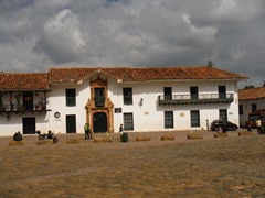
One of the most beautiful colonial towns in all of Colombia, is Villa de Leyva. With it’s cobblestone roads and whitewashed buildings, is a photographers dream.

Founded in 1572, it seems to be frozen in time, when it was originally a retreat for military officers, clergy, and nobility. The Tele-novela ( soap opera) Zorro: La Espalda y La Rosa was filmed here, bringing publicity to the city.

Image00014  Image00013

Image00016  Image00017

Image00018

Image00019  Image00002

  Image00009  Image00005

Image00020  Image00025

After walking through the town we rented bikes to tour the countryside.

Image00023

Image00021  Image00022

Image00012

Mar 14

Ciudad Perdida ( The Lost City)

Number of View: 0

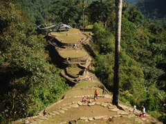
Ciudad Perdida (Spanish for “Lost City”) is the archaeological site of an ancient city in Colombia‘s Sierra Nevada. It is believed to have been founded about 800 CE, some 650 years earlier than Machu Picchu. This location is also known as Teyuna and Buritaca.
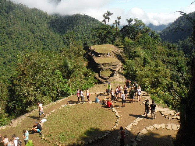
Image00041

History

Ciudad Perdida was discovered in 1972, when a group of local treasure looters found a series of stone steps rising up the mountainside and followed them to an abandoned city which they named “Green Hell” or “Wide Set”. When gold figurines and ceramic urns from this city began to appear in the local black market, archaeologists headed by the director of the Instituto Colombiano de Antropologia reached the site in 1976 and completed reconstruction between 1976-1982.

Image00034  Image00035

Image00036  Image00037

Members of local tribes—the Arhuaco, the Koguis and the Wiwas—have stated that they visited the site regularly before it was widely discovered, but had kept quiet about it. They call the city Teyuna and believe it was the heart of a network of villages inhabited by their forebears, the Tairona. Ciudad Perdida was probably the region’s political and manufacturing center on the Buritaca River and may have housed 2,000 to 8,000 people. It was apparently abandoned during the Spanish conquest.

Image00060

Ciudad Perdida consists of a series of 169 terraces carved into the mountainside, a net of tiled roads and several small circular plazas. The entrance can only be accessed by a climb up some 1,200 stone steps through dense jungle.

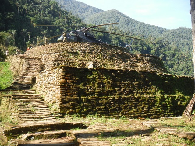
Image00041

Image00038

Image00039  Image00040

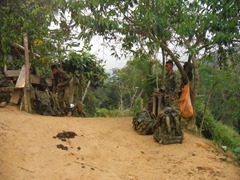
The area is now completely safe but was at one time affected by the Colombian armed conflict between the Colombian National Army, right-wing paramilitary groups and left-wing guerrilla groups like National Liberation Army (ELN) and Revolutionary Armed Forces of Colombia (FARC). On September 15, 2003, ELN kidnapped eight foreign tourists visiting Ciudad Perdida, demanding a government investigation into human rights abuses in exchange for their hostages. ELN released the last of the hostages three months later. The United Self-Defense Forces of Colombia (AUC), the paramilitary right-wing groups in that country, continued attacking aborigines and non-aborigines in the zone for a while. For some time the zone has been free of incidents.

Image00027  Image00026

In 2005, tourist hikes became operational again and there have been no problems since then. The Colombian army actively patrols the area, which is now deemed to be very safe for visitors and there have not been any more kidnappings. For a six day return hike to the lost city, the cost is approximately US$300. The hike is about 44 km of walking in total, and requires a good level of fitness. The hike includes a number of river crossings and steep climbs and descents. It is a moderately difficult hike.

Since 2009, non-profit organization Global Heritage Fund (GHF) has been working in Ciudad Perdida to preserve and protect the historic site against climate, vegetation, neglect, looting, and unsustainable tourism. GHF’s stated goals include the development and implementation of a regional Management Plan, documentation and conservation of the archaeological features at Ciudad Perdida and the engagement of the local indigenous communities as major stakeholders in the preservation and sustainable development of the site.

* excerpt from (Wikipedia)

Image00005  Image00006

Image00008  Image00012

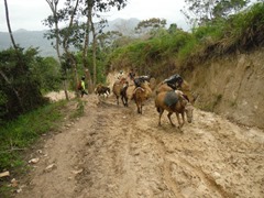
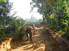
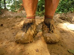
This hike was probably the hardest thing I ever did , but it sure is a once in a lifetime achievement. We had read all the literature about the site, and had been looking forward to completing this trek since we arrived in Colombia. Joined by Diane and Lloyd we showed the other members of our group, who were a lot younger, that if you’re determined, success will follow. The conditions on the trail were extreme, there had been quite a bit of rain lately in the mountains, which left the trail covered in 6 inches of muck. Travelling downhill would have been easier if we had a pair of ski’s.

Day 2, we got up at 5:30 am, putting back on our wet clothes from the day before to walk for almost, 12 1/2 hours, arriving at camp 2 in the dark, to a standing ovation.

The Wiwa and the Kogi, the indigenous group who call this area home do not want to be photographed so out of respect for their beliefs, I have no photo’s. I met one of them on the trail, and he said to me, “ A little hardship in life will be rewarded with a  once in a lifetime experience”  

We would like to thank them inviting us to their land, and showing us some of the history of the Sierra Nevadas. This land truly is sacred and we will remember our time spent here. Our party of four, 3 over the age of 60, asthma, arthritis, hip replacement, and a wonky knee did not hold us back. In the upcoming days as our toenails fall off, yah, I think we are going to …..remember.
  Image00013  Image00014

Image00015  Image00016

Image00017  Image00018

Image00019  Image00021

Image00029  Image00045

Image00047  Image00046

Image00043  Image00048

Image00050  Image00051

Image00055  Image00052

Sign warning of poisonous snakes
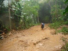
Image00044  Image00049Image00054  Image00056

Image00058

Finish Line!!!

Mar 11

Bogota de Santa Fe, Colombia

Number of View: 0

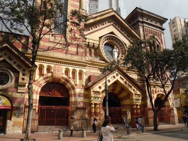
Even though this vibrant city is the capital, we didn’t think we would spend much time here. Known for it’s huge traffic jams which start early in the morning the city didn’t seem very inviting. We took a cab to the historic center , known as Candelaria  and walked around the preserved colonial buildings that house museums, restaurants, hotels, and bars amid the preserved 300 year old homes. Even though large urban centers is not our cup of tea, we are glad we took the time to spend some time , and  thoroughly enjoyed our time spent here.

Image00001 

Image00007  Image00001Image00003Image00006  Image00005

Image00013  Image00012

Image00008

Image00009  Image00014

Image00011  Image00010

We took a bus from the north end of the city,  to the most popular day trip from Bogota to the small town of Zipaquira, 50 km. away. Here we found one of Colombia’s greatest architectural achievements, an underground cathedral carved out of salt, 180 meters below the surface, that can hold up to 10,000 people. Built by 147 workers,  it took 4 years to complete. The men were not paid for their work until the tours started generating income, they now earn a commission. Last year this attraction gave more than 5 million dollars to the town. who have used the funds to build universities.

Image00006

Look closely…..those are people standing near the alter

Image00008  Image00009

Image00012  Image00014

Image00011

Image00010 Image00004

Underground salt river with traces of gold

 Image00013

A salt carving in the wall of the tunnel

Mar 04

San Agustin

Number of View: 0

Image00029

Getting to San Agustin was not easy, we travelled on a bumpy dirt road for approximatly 4 hours, the only road from Popayan, only 136 km. away. Large commercial trucks also use this same road so at times it becomes quite congested. We were glad when we arrived in town and were met at the small bus station by the town tour guide who directed us to the nearest grocery store, then arranged a special cab to take us to our hostel, high in the mountains where normal cabs don’t go. Most taxi’s are small compact cars that have a difficult time with 4 travellers with backpacks.

Our hostel, Pachamama, turned to be a picturesque location overlooking the valley below surrounded by coffee and fruit trees. I think the ducks and chickens in this country have insomnia, making noise all hours of the night but we had very comfortable rooms with a hearty breakfast each morning.

Image00033  Image00030

Image00003

Image00032  Image00031

Image00039  Image00040

Image00034  Image00041

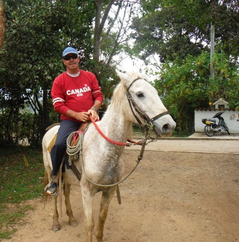
We could easily walk to town, going down the mountain was OK, coming up we stopped only to be passed by the locals who smiled as they walked by. Horses are  the main way to get around and the best to explore the countryside, but walking is also enjoyable in the fresh mountain air.

Image00036

Image00035  Image00037

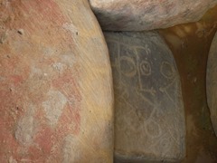
Five thousand years ago this area was inhabited by two indigenous groups that lived near San Agustin. Very little is known about them, they had no written language and had disappeared before the Europeans arrived.

They left behind more than 500 statues scattered in the hills around here, along with a number of tombs. This is the most important archeological site in Colombia, and the  government has done a fantastic job in preserving these locations, and takes pride in displaying them to the world.

Image00016

Image00018  Image00023

Image00014  Image00017

Image00013  Image00014Image00002

Feb 26

Popayan

Number of View: 0

Image00024

This small colonial city is famous for it’s chalk-like facades( its nickname is “ La Ciudad Blanca, or The White City”), and is second only to Cartagena as Colombia’s most impressive colonial settlement. It sits beneath towering mountains in the Valle de Pubenza, and for hundreds of years was  the capital of southern Colombia, before Cali overtook it.

The town was founded in 1537by Sebastian de Belalcazar, and became an important stopping point on the road to Quito, Ecuador. It’s mild climate attracted wealthy families from the sugar haciendas of the hot Valle de Cauca region. In the 17th century they began building mansions, schools, and several imposing churches and monasteries.

In march 1983, moments before the much celebrated Maundy Thursday religious procession was set to depart, a violent earthquake shook the town, caving in the cathedral’s roof and killing hundreds. Little damage is visible today.

The city has numerous universities and during the day the streets are filled with students.

Image00025  Image00026

Image00028   Image00027

Image00030  Image00029

Image00037  Image00033

Image00039

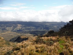
Forty-five kilometers east of Popayan along an unpaved road to La Plata lies a 830 sq/km National Park ( Resguardo Indigena Purace ). The vast majority of the park lies within the reguardo ( official territory ) of the Purace indigenous group.

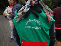
At this time , the indigenous community has taken control of the park following a dispute with the national government over it’s management. If you ask at any national park or official government tourist office they will tell you that the park is closed, however the community is still accepting visitors and is dedicated to expanding it’s fledgling ecotourism program. In addition to an entrance fee, each group is required to hire an indigenous guide to explore the park.

Image00009

We had every intention to climb to the top of the volcano, I just wished we had done more research. After stopping at the small village, where our guides loaded supplies and rode in the back of the pick-up to a cabin at the start of the trail. They had us hold hands and asked the gods for guidance and protection so we would be safe walking to the summit to view the volcano.

The wind was howling and the temperature must have been hovering around zero, the altitude stealing our breath. It wasn’t meant to be, one by one we gave up.

Image00004  Image00008

Image00003  Image00006

Image00010

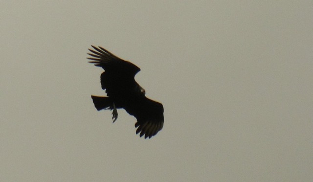
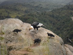
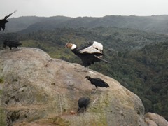
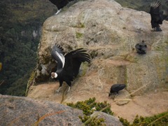
Our 2 guides eager to show us there land, told us they wanted us to see their most sacred area where we could see, and get close to Condors, noted to be the largest birds of the world. What started out with just 1 mating pair has become quite a success. Their wings spanning 10 feet or more as they glide serenely above Colombia’s Andes, condors are majestic physical specimens. They have been important symbols here since pre-colonial times, when indigenous tribes saw them as messengers of the gods and harbingers of good fortune.

Image00022  Image00023

Image00011

Check out the YouTube video on Condors

https://youtu.be/TfzUzUe7dTo

Image00017  Image00016

Image00018  Image00019

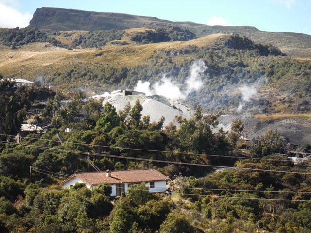
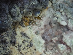
We were also were shown the Termales de San Juan, which are on a high mountain plain (3200m), what an amazing area. These hot springs can not be bathed in due to the heat and the high acid content with the smell of rotten eggs.

Image00021  Image00026

Image00028  Image00029

Image00027  Image00030

Image00031

Feb 08

Manizales

Number of View: 0

Image00002

We left Medellin early to make our way by bus to the next town on our tour of Colombia. There are quite a few different bus lines, as you enter the station people are steering you toward their company. We chose one and after a short wait we boarded and were making our way to Manizales. The ride can only be described as exciting, part fast travel,  part white knuckle racing. The drivers mission is to pass every vehicle he comes upon, No passing zones or blind mountain curves makes a difference. 

Manizales is a city in the mountainous coffee  growing region of Western Colombia. Its know for its cultural events, steep streets, and views of the nerarby, Nevado del Ruiz volcano. Central Bolivar Square has a man- condor sculpture honouring revolutionary leader Simon Bolivar The city’s neo Gothic cathedral Basilica of, Our Lady of the Rosary has a roof top view.point. The neo-colonial governs palace is nearby.

Image00057

Image00047  Image00049

Image00050  Image00054

Image00055  Image00056

Image00053  Image00052

During this whole trip, Muriel as our agent has been picking lodgings from the internet and again she picked a fantastic place. Owned by a fellow Canadian,  the,   “ Mirador Finca Morrogacho “ turned out to be a highlight.

Image00034

Image00035   Image00004

Image00044  Image00045

Image00039  Image00040

Image00042  Image00043

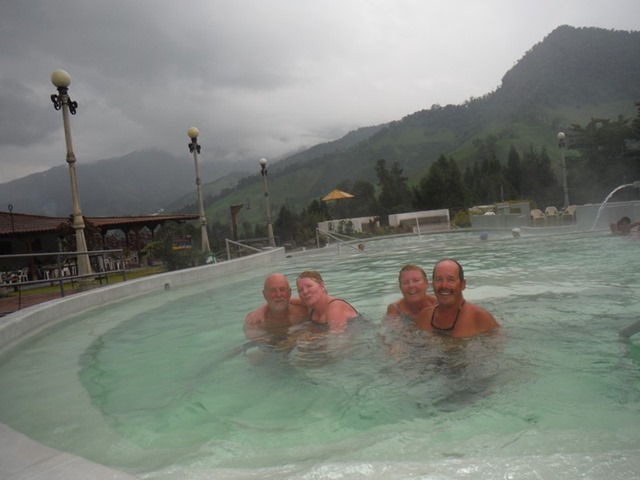
Just a cheap taxi ride outside the town are the termales ( hot springs), so after a morning hike down to a waterfall on the farm property we decided to soothe our sore muscles.

Image00060

Check out the video of our waterfall hike

 https://youtu.be/E2RUeUi-MSg


.   .

Feb 07

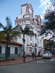
Guatape, Colombia

Number of View: 0

Image00007

Medellin, has 2 bus terminals, one on the north side of the city, if you are travelling north, one on the south. This way, the buses avoid getting bogged down in the inner city congestion. We took a fast trip by metro then hopped a bus to go north-east to El Penol, a oddity on the landscape, an hour from town.

This piece of rock is a small mountain on top of a mountain, and attracts many visitors who come to climb to the top.

Image00010  Image00013

Image00011  Image00012

Image00010  Image00015

When you get to the site, just off the highway, you take a rugged stair way to the base . We could have taken a small cart but chose to walk. By the time we got there we were warmed up and ready for the challenge to make it to the top.

Image00017

Image00016   Image00018

Image00019  Image00021

Image00020  Image00022

It took us approximately 45 minutes to reach the summit, meeting other climbers of all ages, we were glad to see the last step. After having a celebratory beer, …..hey we’re Canadian, we then had to walk down. This was harder on the knees and legs, our tired muscles aching all the way to the bottom.   Image00024


Image00023

Image00025  Image00027

Image00026  Image00029

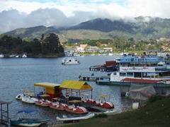
We then went into town to catch the bus back to Medellin, spending some time watching people zip-lining across the mountain lake. A great side trip and well spent time exploring the country side.

Image00030  Image00028

Image00032  Image00033

Jan 30

Medellin

Number of View: 0

Image00017

The “City of Eternal Springs”  has its own unique character and has made a big turnaround since its notorious days as the center of Colombia’s drug trade.

With Pablo Escobar and company now a part of Medellin’s history, the streets are safe again, you can find easy access to most parts of the city. Although drugs are no longer the dominant economy of trade, the city has managed to build up other commercial and industrial interests (mainly textiles and cut flowers) , and even has a fantastic subway.

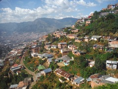
The town was founded in 1675 and in its early days consisted of individual haciendas that later became the basis for the many beautiful suburbs that surround the city center.. Neighborhoods are infused with winding streets and much greenery. The entire city is surrounded by lush mountains that harbor quaint pueblos and weekend getaways.

Image00024 Image00022  Image00009  Image00023

Image00021  Image00020

Image00025  Image00026

Image00018  Image00027

Image00010  Image00013

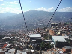
We stayed in the section of town known as Poblado, and each day we travelled by the metro in to the heart of the city. This vibrant city has many attractions which we tried to squeeze in during our short time here. The tourist information told us we would need at least a week. We spent the days visiting the museum, cable cars and parks., truly enjoyed this modern city.

Image00014  Image00015

Image00016

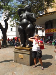
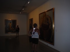
World famous artist, Fernando Botero’s painting of Pablo Escobar.