Apr 11

Bucaramanga, Parque National del Chicamocha

Number of View: 0

Image00001

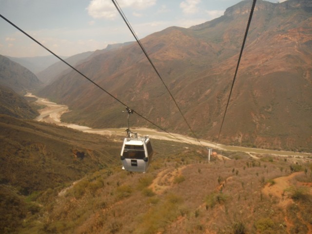
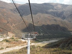
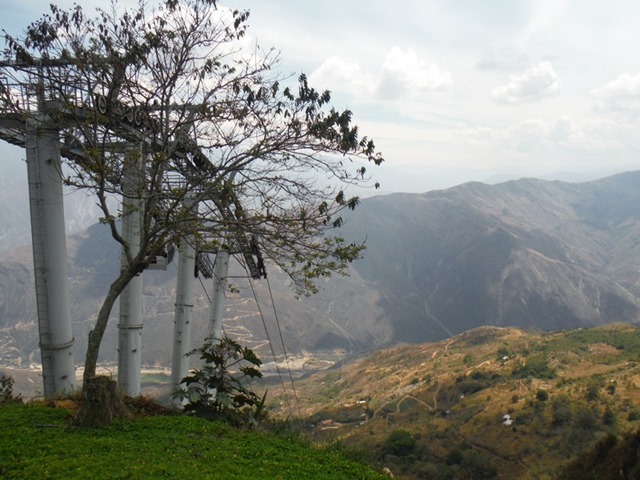
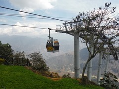
We took the bus out of a small bus station in San Gil, to an area known to have similarities to the Grand Canyon, in the U.S.. Parque Nacional del Chicamocha opened in 2006, from it’s 360o look out,  provides views of the majestic canyon. We chose to take the teleferico (cable car), 6.3 km which descends to the base of the canyon, then ascends to the top of the opposite rim, Mesaa de los Santos. The ride takes 22 minute, one way. They also offer paragliding for those that want to soar over the canyon below.  

Image00014  Image00015

Image00016  Image00017

Image00002

Image00003  Image00004

Image00005

Image00010  Image00012

Image00009

Image00006  Image00007

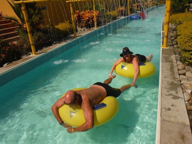
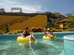
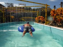
After lunch, everything closes for lunch, we caught the first cable car so we could spend some time in the waterpark to cool off. It was the middle of the week, but I’m sure, on week ends this place is packed.

Image00020

After a relaxing afternoon, a lady that works in the ticket booth went out to the highway, and flagged down a passing bus., We needed to travel into the city of Bucaramanga , where we could get a bus back to Santa Marta. Our land excursion coming to an end. 

Image00018  Image00019

Mar 24

Villa de Leyva, Colombia

Number of View: 0

Image00010

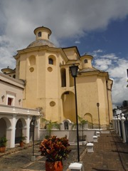
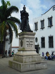
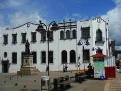
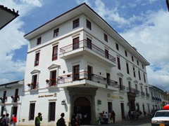
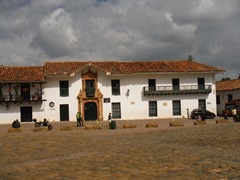
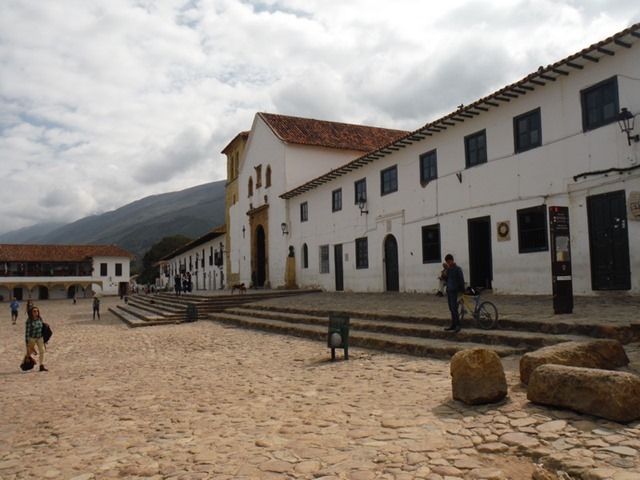
One of the most beautiful colonial towns in all of Colombia, is Villa de Leyva. With it’s cobblestone roads and whitewashed buildings, is a photographers dream.

Founded in 1572, it seems to be frozen in time, when it was originally a retreat for military officers, clergy, and nobility. The Tele-novela ( soap opera) Zorro: La Espalda y La Rosa was filmed here, bringing publicity to the city.

Image00014  Image00013

Image00016  Image00017

Image00018

Image00019  Image00002

  Image00009  Image00005

Image00020  Image00025

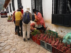
After walking through the town we rented bikes to tour the countryside.

Image00023

Image00021  Image00022

Image00012

Mar 04

San Agustin

Number of View: 0

Image00029

Getting to San Agustin was not easy, we travelled on a bumpy dirt road for approximatly 4 hours, the only road from Popayan, only 136 km. away. Large commercial trucks also use this same road so at times it becomes quite congested. We were glad when we arrived in town and were met at the small bus station by the town tour guide who directed us to the nearest grocery store, then arranged a special cab to take us to our hostel, high in the mountains where normal cabs don’t go. Most taxi’s are small compact cars that have a difficult time with 4 travellers with backpacks.

Our hostel, Pachamama, turned to be a picturesque location overlooking the valley below surrounded by coffee and fruit trees. I think the ducks and chickens in this country have insomnia, making noise all hours of the night but we had very comfortable rooms with a hearty breakfast each morning.

Image00033  Image00030

Image00003

Image00032  Image00031

Image00039  Image00040

Image00034  Image00041

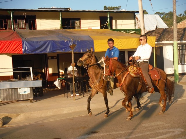
We could easily walk to town, going down the mountain was OK, coming up we stopped only to be passed by the locals who smiled as they walked by. Horses are  the main way to get around and the best to explore the countryside, but walking is also enjoyable in the fresh mountain air.

Image00036

Image00035  Image00037

Five thousand years ago this area was inhabited by two indigenous groups that lived near San Agustin. Very little is known about them, they had no written language and had disappeared before the Europeans arrived.

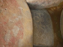
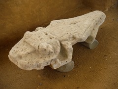
They left behind more than 500 statues scattered in the hills around here, along with a number of tombs. This is the most important archeological site in Colombia, and the  government has done a fantastic job in preserving these locations, and takes pride in displaying them to the world.

Image00016

Image00018  Image00023

Image00014  Image00017

Image00013  Image00014Image00002

Feb 26

Popayan

Number of View: 0

Image00024

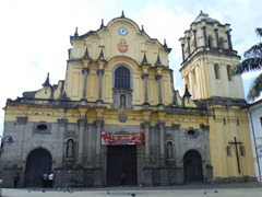
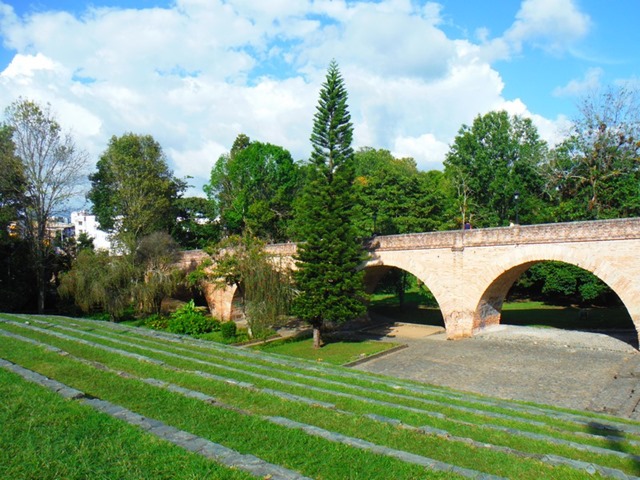
This small colonial city is famous for it’s chalk-like facades( its nickname is “ La Ciudad Blanca, or The White City”), and is second only to Cartagena as Colombia’s most impressive colonial settlement. It sits beneath towering mountains in the Valle de Pubenza, and for hundreds of years was  the capital of southern Colombia, before Cali overtook it.

The town was founded in 1537by Sebastian de Belalcazar, and became an important stopping point on the road to Quito, Ecuador. It’s mild climate attracted wealthy families from the sugar haciendas of the hot Valle de Cauca region. In the 17th century they began building mansions, schools, and several imposing churches and monasteries.

In march 1983, moments before the much celebrated Maundy Thursday religious procession was set to depart, a violent earthquake shook the town, caving in the cathedral’s roof and killing hundreds. Little damage is visible today.

The city has numerous universities and during the day the streets are filled with students.

Image00025  Image00026

Image00028   Image00027

Image00030  Image00029

Image00037  Image00033

Image00039

Forty-five kilometers east of Popayan along an unpaved road to La Plata lies a 830 sq/km National Park ( Resguardo Indigena Purace ). The vast majority of the park lies within the reguardo ( official territory ) of the Purace indigenous group.

At this time , the indigenous community has taken control of the park following a dispute with the national government over it’s management. If you ask at any national park or official government tourist office they will tell you that the park is closed, however the community is still accepting visitors and is dedicated to expanding it’s fledgling ecotourism program. In addition to an entrance fee, each group is required to hire an indigenous guide to explore the park.

Image00009

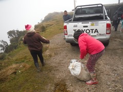
We had every intention to climb to the top of the volcano, I just wished we had done more research. After stopping at the small village, where our guides loaded supplies and rode in the back of the pick-up to a cabin at the start of the trail. They had us hold hands and asked the gods for guidance and protection so we would be safe walking to the summit to view the volcano.

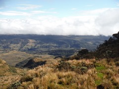
The wind was howling and the temperature must have been hovering around zero, the altitude stealing our breath. It wasn’t meant to be, one by one we gave up.

Image00004  Image00008

Image00003  Image00006

Image00010

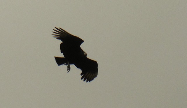
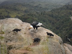
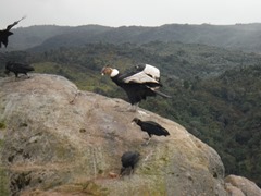
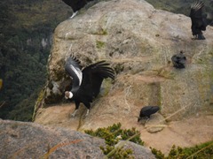
Our 2 guides eager to show us there land, told us they wanted us to see their most sacred area where we could see, and get close to Condors, noted to be the largest birds of the world. What started out with just 1 mating pair has become quite a success. Their wings spanning 10 feet or more as they glide serenely above Colombia’s Andes, condors are majestic physical specimens. They have been important symbols here since pre-colonial times, when indigenous tribes saw them as messengers of the gods and harbingers of good fortune.
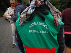
Image00022  Image00023

Image00011

Check out the YouTube video on Condors

https://youtu.be/TfzUzUe7dTo

Image00017  Image00016

Image00018  Image00019

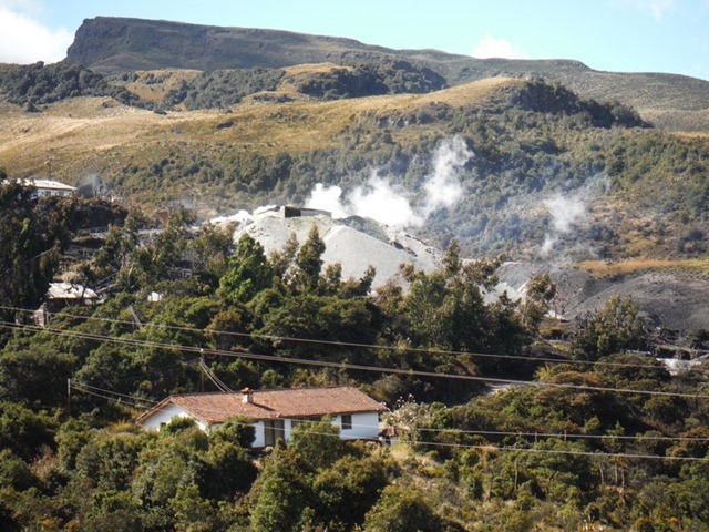
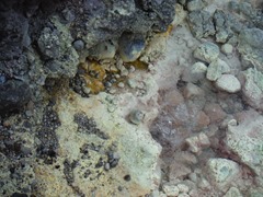
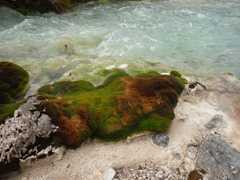
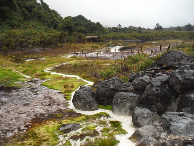
We were also were shown the Termales de San Juan, which are on a high mountain plain (3200m), what an amazing area. These hot springs can not be bathed in due to the heat and the high acid content with the smell of rotten eggs.

Image00021  Image00026

Image00028  Image00029

Image00027  Image00030

Image00031

Jan 30

Medellin

Number of View: 0

Image00017

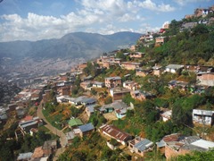
The “City of Eternal Springs”  has its own unique character and has made a big turnaround since its notorious days as the center of Colombia’s drug trade.

With Pablo Escobar and company now a part of Medellin’s history, the streets are safe again, you can find easy access to most parts of the city. Although drugs are no longer the dominant economy of trade, the city has managed to build up other commercial and industrial interests (mainly textiles and cut flowers) , and even has a fantastic subway.

The town was founded in 1675 and in its early days consisted of individual haciendas that later became the basis for the many beautiful suburbs that surround the city center.. Neighborhoods are infused with winding streets and much greenery. The entire city is surrounded by lush mountains that harbor quaint pueblos and weekend getaways.
Image00024 Image00022  Image00009  Image00023

Image00021  Image00020

Image00025  Image00026

Image00018  Image00027

Image00010  Image00013

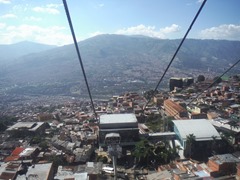
We stayed in the section of town known as Poblado, and each day we travelled by the metro in to the heart of the city. This vibrant city has many attractions which we tried to squeeze in during our short time here. The tourist information told us we would need at least a week. We spent the days visiting the museum, cable cars and parks., truly enjoyed this modern city.
Image00014  Image00015

Image00016

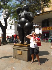
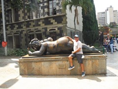
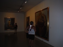
World famous artist, Fernando Botero’s painting of Pablo Escobar.

Jan 27

Cartagena

Number of View: 0

Image00027

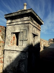
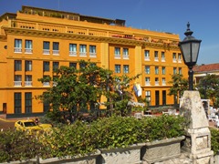
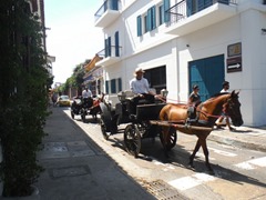
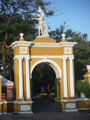
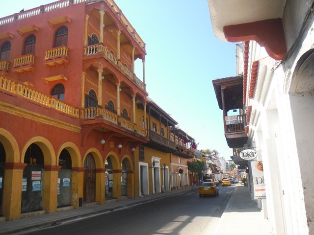
A fairytale city of romance, legends and sheer beauty, Cartagena de Indias is an addictive place that can be hard to escape. Routine sightseeing tours won’t do it justice so you have to throw away the checklist of museums and instead just stroll through Cartagena’s maze of cobbled alleys, where enormous  balconies are shrouded in Bougainvillea and massive churches cast their shadow across leafy plazas.

Founded in 1533, Cartagena swiftly blossomed into the main Spanish port on the Caribbean coast  and the gateway to the north of the continent. Treasure plundered from the indigenous people was stored her until the galleons were able to ship it back to Spain. As such it became a tempting target for pirates and, in the 16th century alone it suffered 5 dreadful sieges, the best know of which was let by Sir Francis Drake in 1586.

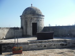
In response to pirate attacks the Spaniards decided to make Cartagena impregnable port and constructed elaborate walls encircling the town, and a chain of forts these fortifications helped save Cartagena from subsequent attacks.

Image00006  Image00018

Image00020  Image00021

Image00026  Image00022

After a 4 hour bus trip we arrived in this beautiful city to start our inland travel. We will be staying in hostels, farms and inexpensive hotels as we travel around. Next we will do a 14 hour overnight trip to Medellin.

Image00001

Image00037  Image00034

Image00031   Image00032

Image00033  Image00030

Image00011   Image00012

Image00002

Nov 03

Getting to know Santa Marta

Number of View: 0

Image00027

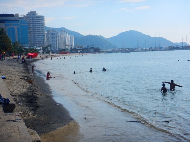
Santa Marta was the 1st Spanish settlement in the Americas, thus making it the oldest city on the continent. Tucked below the worlds highest mountains, Sierra Nevada de Santa Marta with snowy peaks, Pico Simon Bolivar (18700 ft.) and Pico Cristobal Colon, 26 miles from the sea shore combined with the Caribbean sea at it’s feet this place is very unique of its kind. These mountains are home to indigenous peoples such as the Arhuacos, Koguis, Wiwas, and the Kankuamos. The energetic city with its productive harbour, colonial architecture, fun night life, interesting history, and too many things to do, will result in a longer stay than planned.

Image00001   Image00006

Image00012  Image00014

Image00020  Image00019

Image00017        Image00023

Image00022

Image00001  Image00002

Image00003

Image00005                  Image00006

Image00004

The only risk here, is…………..We might never want to leave.

Oct 21

Santa Marta, Colombia

Number of View: 0

DSCN5772

First off, let me say that the internet, or more the lack of internet has not been good to us lately.

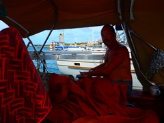
We had planned to leave Aruba on the Saturday, October 15th, but the wind changed and was gusting 25 knots, a little too high for our first passage of the season. The Colombian coast is considered one of the worst passages in the world for sailors.  It was forecasted to lessen, so we waited til Sunday. Everything depends on the wind and the direction which it’s coming from, so it seemed that we were checking the forecast every hour. We also had the help, that it was a full moon making it easier to see.

Image00002  Image00001

Image00005

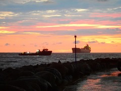
After completing some last minute chores, we moved over to the town dock to deal with the officials. When the paperwork was finished we were given 1 hour to leave, we were ready and just wanted to get underway. Off we set, the last islands of Venezuela 57 miles to the west, which we needed to go around, in the dark. As we closed in on the coast of Colombia we were give lightning show, with bolts streaking across the sky. 10 miles out, we stayed perfectly dry.

Image00003

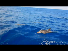
Snapshot 1 Dolphin (10-20-2016 9-32 PM)

(Taken from Video)

Except for some countercurrent and wind off the headlands we had a nice sail all the way til the last island coming into Santa Marta Bay. There we  met waves coming directly at us with high winds. Our speed slowed down to less than  2 knots, making little headway, we only hoped that we could make it in before dark.

Image00004  Image00005

The process of checking onto Colombia ended up being a 2 day affair, with us being confined to the marina property. The cruisers here had scheduled a BBQ, but the rain changed the plans. We did attend, sitting with new friend under a small shelter.

Image00006

This morning we given the green light to go to town, mostly to stock up on food so off we went with map in hand to find the the stores.

Image00008  Image00003

Image00009    Image00013

Image00010   Image00011

Image00012   Image00015

Image00017   Image00018

We treated ourselves to a breakfast at a Panaderia (Bakery), 2 empanadas, Potato roll, a piece of something like a pizza, 2 Macaroons, washed down with beer………total price, less than $10 Canadian. Very easy on the monthly expenses to stay here. In the upcoming weeks we plan on doing more exploring, it seems to be a beautiful country.

Image00014

Image00004

This will be our home for the next 4 to 6 months while we explore the interior of the country.